Features
NASA's SPHEREx observatory delivers first full-sky map in 102 infrared colors
NASA’s SPHEREx Observatory maps the entire sky in 102 infrared colors, enabling 3D galaxy distribution studies, cosmic structure analysis, and detection of water and organic molecules in the Milky Way.
-
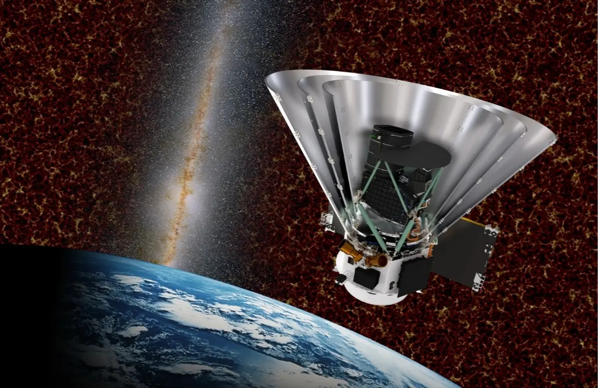 NASA’s Spectro-Photometer for the History of the Universe, Epoch of Reionization and Ices Explorer (SPHEREx) (Image via NASA)
NASA’s SPHEREx Observatory has completed its first full-sky map in 102 infrared colors, providing a comprehensive survey of the universe in wavelengths not visible to the human eye.
Launched on March 11, 2025, the Spectro-Photometer for the History of the Universe, Epoch of Reionization, and Ices Explorer (SPHEREx) observes the entire sky to gather spectral data from hundreds of millions of galaxies and more than 100 million stars within the Milky Way.
The map allows scientists to measure the three-dimensional distribution of galaxies and investigate conditions in the early universe, including the event called inflation that occurred immediately after the big bang.
The dataset is publicly available and managed by NASA’s Jet Propulsion Laboratory in Southern California.
SPHEREx orbits Earth a little less than 15 times every day. It is a polar orbit, going from north to south and passing over the poles. The spacecraft takes about 3,600 pictures each day along a circular strip of the sky.
After half a year, when the Earth is at a different point in its orbit, the observatory has seen the whole sky and has made a complete 360-degree map.
The first full-sky mosaic was done in December 2025, and SPHEREx is expected to make three more all-sky scans during its two-year primary mission.
Combining these scans will increase the sensitivity of measurements and refine the spectral maps.
The mission is managed by NASA’s Jet Propulsion Laboratory and includes contributions from the California Institute of Technology, Ball Aerospace, and the Korea Astronomy and Space Science Institute, among other institutions.
Infrared colors and spectroscopy
The 102 colors captured by SPHEREx correspond to infrared wavelengths, each providing distinct information about stars, galaxies, and planetary formation regions.
SPHEREx uses six detectors, each with a filter containing a gradient of 17 colors. This configuration produces 102 separate color bands in every image and each all-sky map.
Spectroscopy, which is the separation of light into its component wavelengths, is what makes it possible to measure the physical properties and distances of the objects that are observed.
SPHEREx's multiband survey offers information about such areas as the Milky Way stellar nurseries and far-off galaxies whose light has taken billions of years to get to Earth.
The mission is to be able to find differences in the cosmic dust and gas distribution that matter most for understanding how stars form.
Besides that, the spectra help the researchers to pinpoint the existence of essential molecules such as water and organics in different parts of the galaxy.
Scientific applications and data access
The SPHEREx dataset is a valuable tool to support research in areas such as galaxy evolution, cosmic structure, and the distribution of water and organic molecules in the Milky Way.
Scientists can study the clustering and distribution of matter in the universe by mapping the three dimensions of hundreds of millions of galaxies.
Along with that, the mission gives the instruments such as the James Webb Space Telescope and the Wide Field Infrared Survey Telescope the opportunity to have more detailed observations.
Data gathered by SPHEREx are available to everyone via the Infrared Processing and Analysis Center, which allows any scientist in the world to access the data and perform analyses freely.
SPHEREx Principal Investigator Dr. Jamie Bock is the leader of the mission. The team comprises institutions like the University of California Irvine, Ohio State University, the Harvard-Smithsonian Center for Astrophysics, Arizona State University, the University of Arizona, Rochester Institute of Technology, Argonne National Laboratory, and Johns Hopkins University.
The first full-sky map of the observatory is a major step for infrared astronomical surveys and opens up the possibilities for further research in the remaining time of the mission.
Stay tuned for more updates.
TOPICS: NASA SPHEREx, 102 infrared colors, astronomical missions 2025, infrared astronomy, James Webb Space Telescope follow-up, Milky Way spectroscopy, NASA Jet Propulsion Laboratory, SPHEREx full-sky map